(Fatherland) - Known as one of the "four great places of death" of the Ta Xua primeval special forest, Hang Te Cho waterfall is one of the most attractive challenges for tourists who are passionate about exploring. .
(Fatherland) - Known as one of the "four great places of death" of the Ta Xua primeval special forest, Hang Te Cho waterfall is one of the most attractive challenges for tourists who are passionate about exploring. .
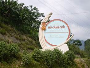
When mentioning Yen Bai, visitors will immediately remember famous tourist destinations such as Mu Cang Chai, Ba waterfall... But there is another name that is not really known to many tourists, but also possesses majestic beauty. , rare and pristine. It is a waterfall named Hang Te Cho, located in the highlands of Tram Tau.
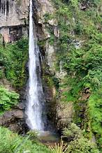
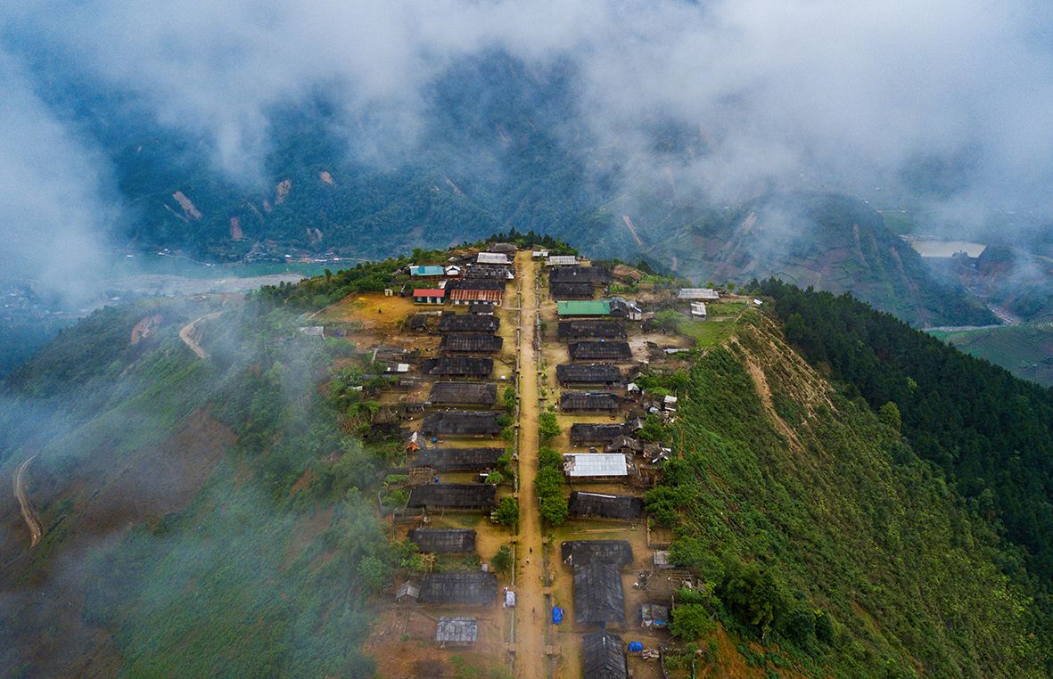
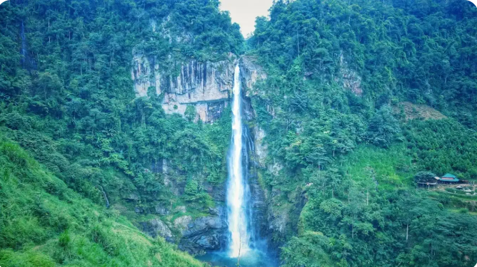
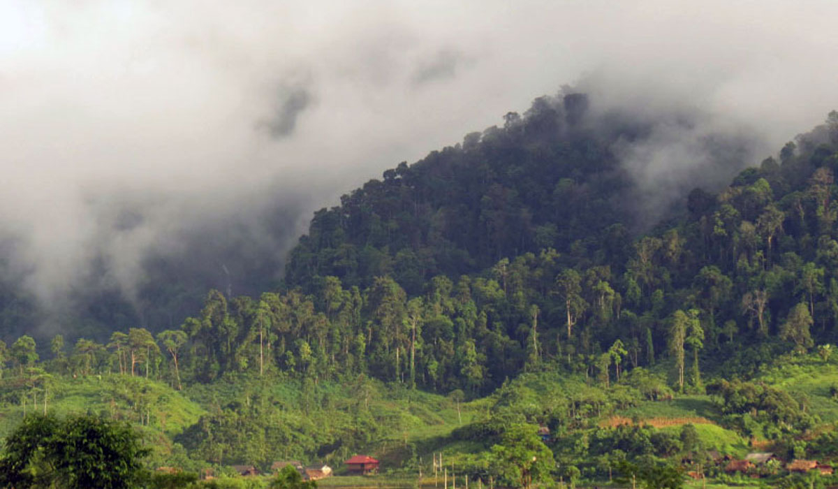
The location of the waterfall is in a Mong village, in Lang Nhi commune, Tram Tau district, Yen Bai province - the natural boundary between Yen Bai and Son La provinces. That's why the waterfall has the same name as that small village - Hang Te Cho. Located deep in the heart of the mountain, with its back against Ta Xua forest, at an altitude of 1800m above sea level, Hang Te Cho is considered one of the most majestic waterfalls in the Northwest mountains and forests, even known as " First waterfall".
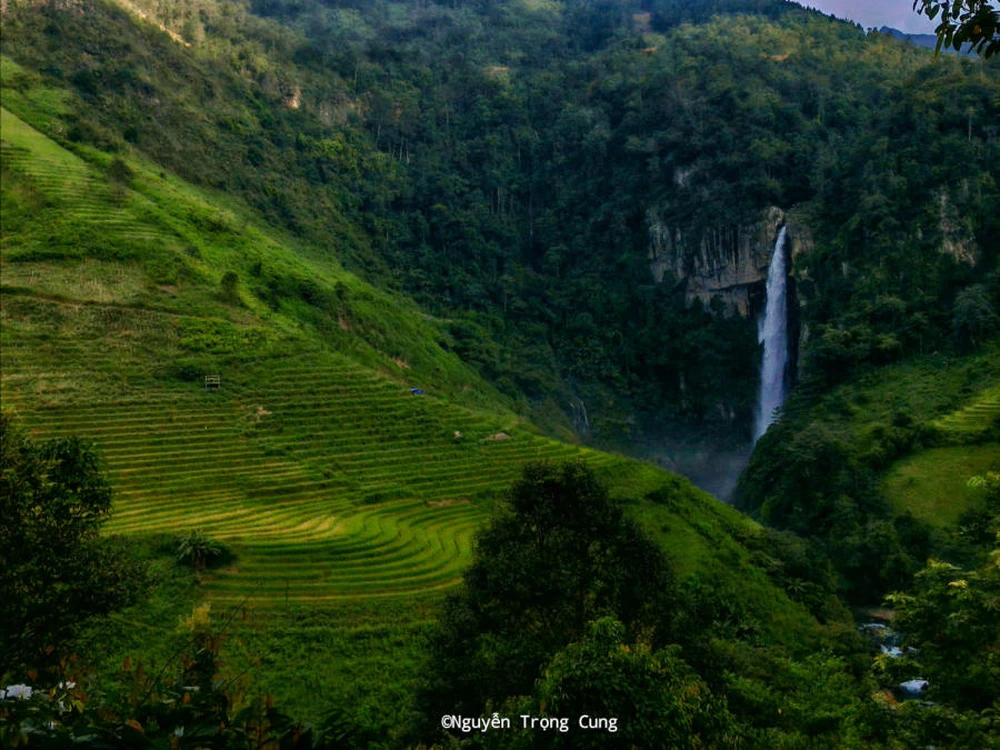
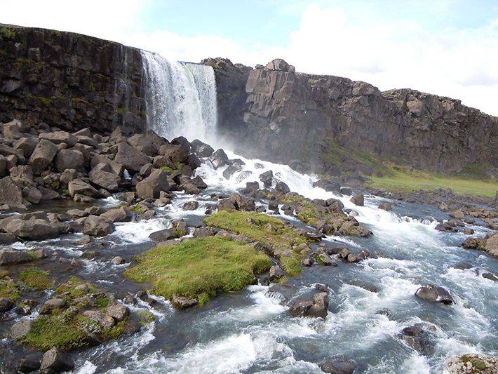
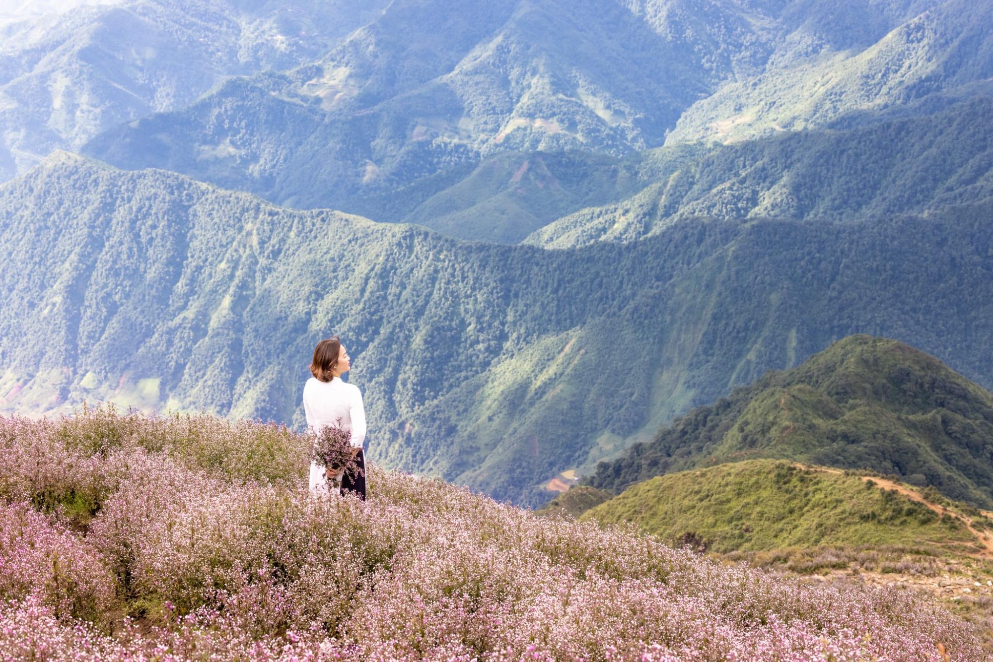
Hang Te Cho Waterfall is hidden among the green mountains and forests of the Northwest (Photo: Nguyen Trong Cung)
This is an extremely interesting tourist destination. Although the road is somewhat difficult, the wild beauty, not much exploitation by humans, will give visitors a unique "nature experience". the correct way.
Move to Hang Te Cho waterfall - a dangerous and challenging road
To get to Hang Te Cho waterfall, in the past, visitors had to go on dirt roads and cross steep, narrow slopes, teetering on the edge, with rubble and boulders scattered on the road. However, currently, most of the road to the waterfall has been paved with clean concrete, so the traveler's journey becomes easier. From Hanoi, visitors can travel along Highway 32 to the center of Tram Tau district, then rent a motorbike to start a 4-part journey with increasing difficulty.
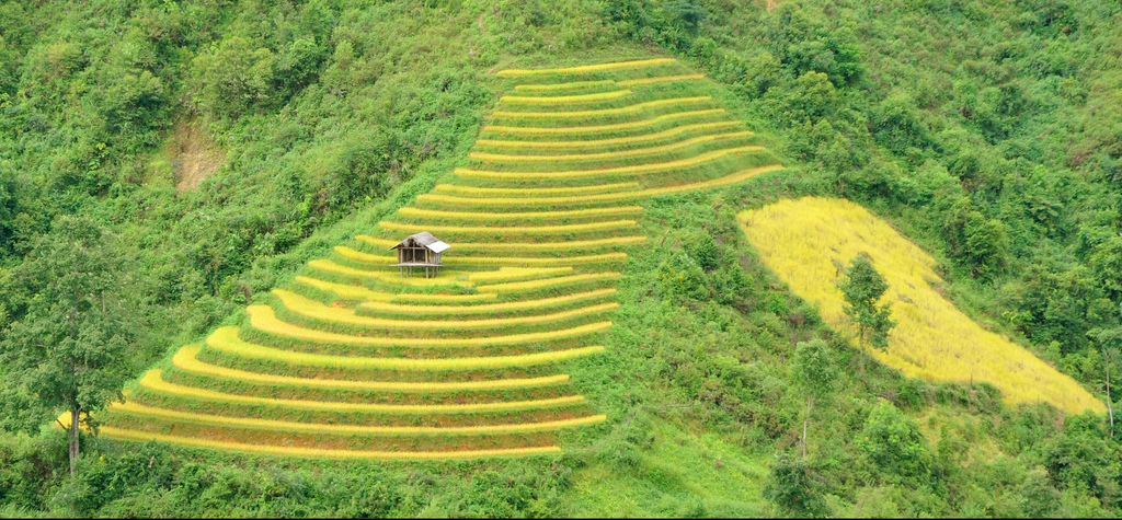
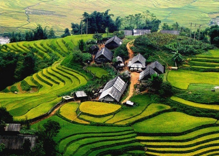
First leg: Departing from the center of Tram Tau district to Phinh Ho commune. This first distance is about 10km long, has been paved cleanly, so moving is quite easy. Tourists passing through stage 1 will have a panoramic view of the center of Tram Tau district, along with ancient tea hills and endless terraced fields on both sides of the road.
Second leg: From Phinh Ho commune to Lang Nhi commune. On this road, the first slope appears in the center of Phinh Ho. After passing the slope, there will be a road with boulders and rubble stretching for 7km up to Lang Nhi commune. The higher you go, the clearer you will see the wild scenery of mountains and forests with soaring terraced fields. The immense green of the mountains, forests and fields seems to stretch out endlessly, but the Mong people's houses gradually become sparser along the way to the waterfall.
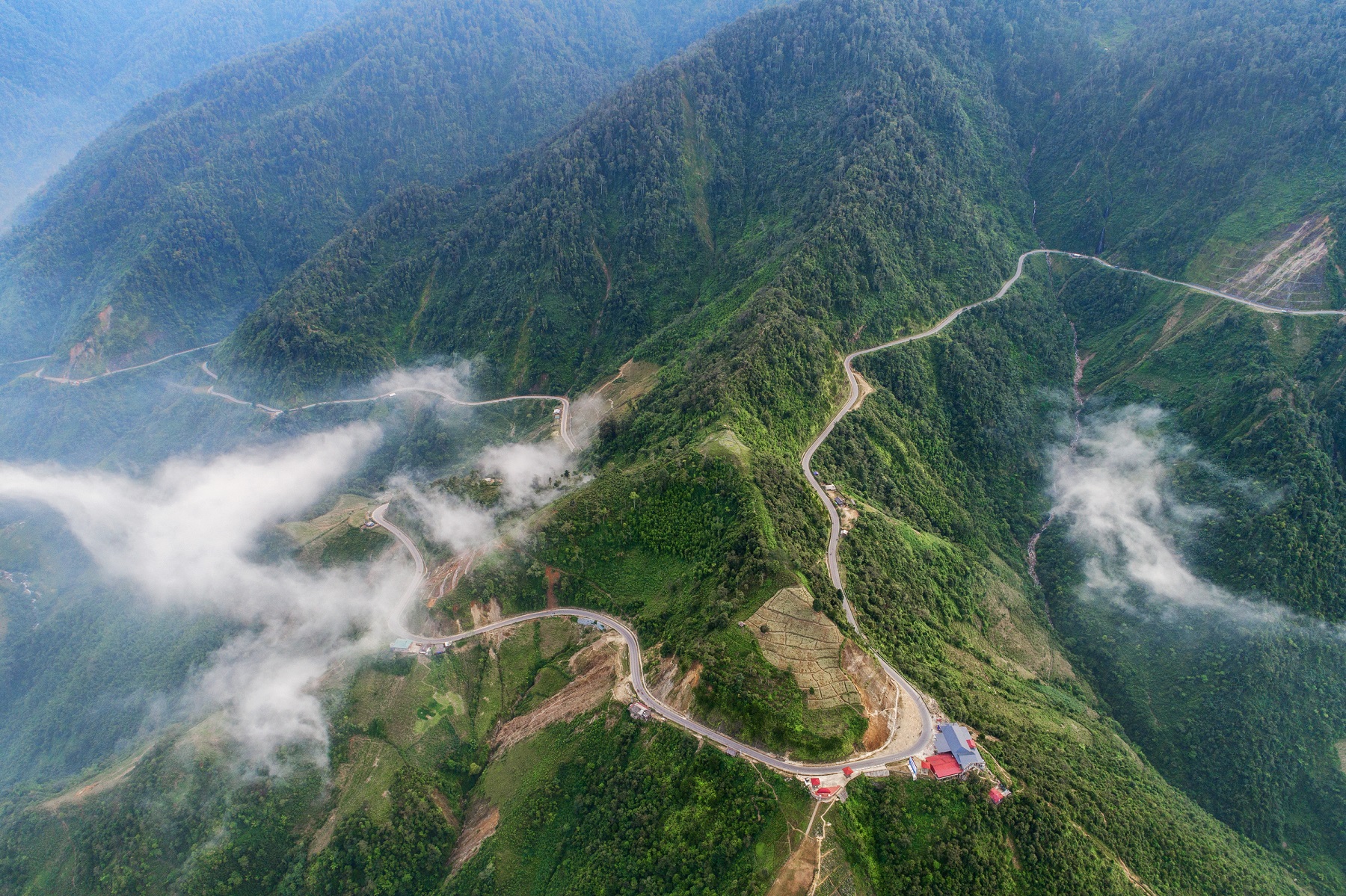
Third stage: The road from Lang Nhi commune to De Cho village lasts 10km, many times more arduous and challenging than the previous stage. The road to the village is very narrow and gradually higher, close to the cliff, on one side is the left and the other side is the abyss. The path is only a few hands wide and has steep slopes full of rocks and tree branches. This road becomes slippery when it rains, most tourists have to turn back when it rains.
Going all the way, Hang Te Cho waterfall will gradually appear, as small as a thread dropped from the top of the mountain. This is also the time when the motorbike ride ends, visitors need to park their motorbikes at the village to continue walking down to the waterfall.
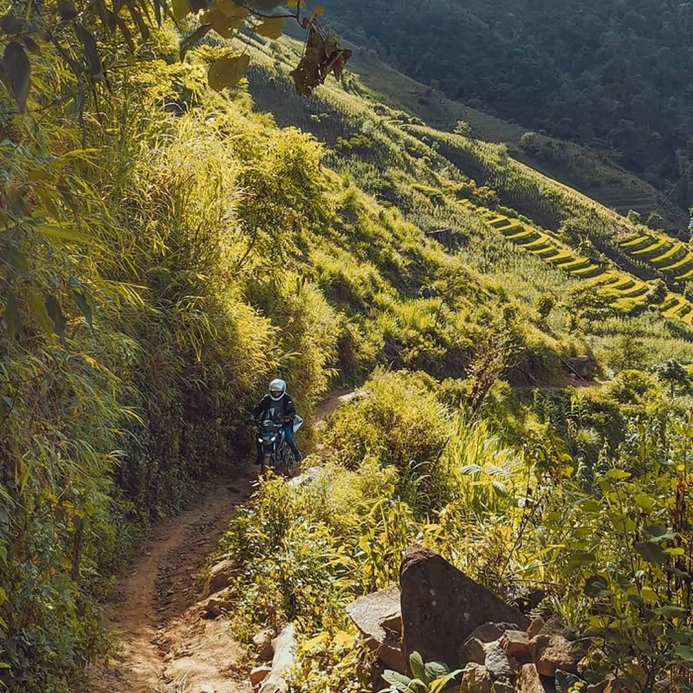
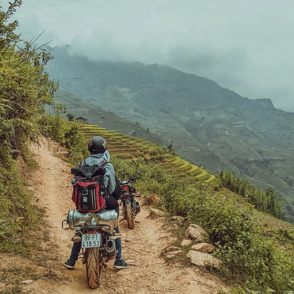
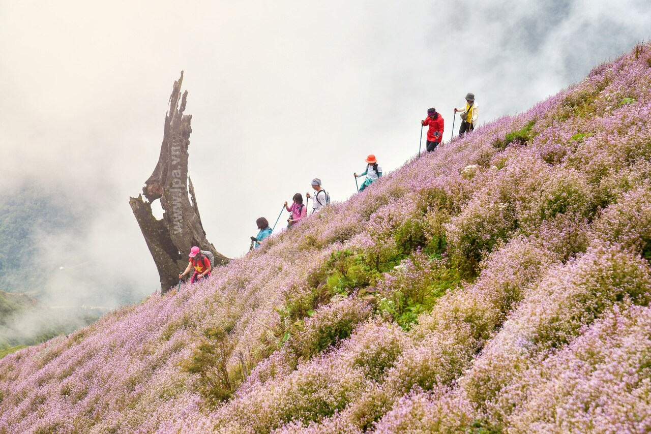
The road to Hang Te Cho waterfall is full of hardships (Photo: ledung.tb)
Fourth stage: Although the waterfall appears before your eyes, visitors will have to walk along the mountainside from the village to the waterfall. The distance seems close but the travel time will take nearly an hour. Because visitors will have to walk along corn fields, cliffs, wade through dangerous streams and small, uneven bridges and large rocks.
Finally, after conquering all those challenging paths, visitors will reach Hang Te Cho waterfall. As mentioned above, if you stand in Village Nhi, the waterfall is just like a tiny thread hanging between the immense green of the mountains and forests, then when you arrive, its majesty will make visitors overwhelmed. .
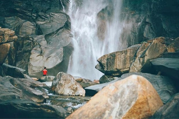
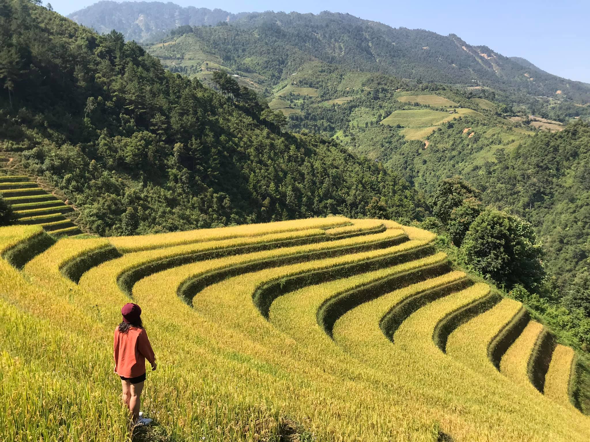
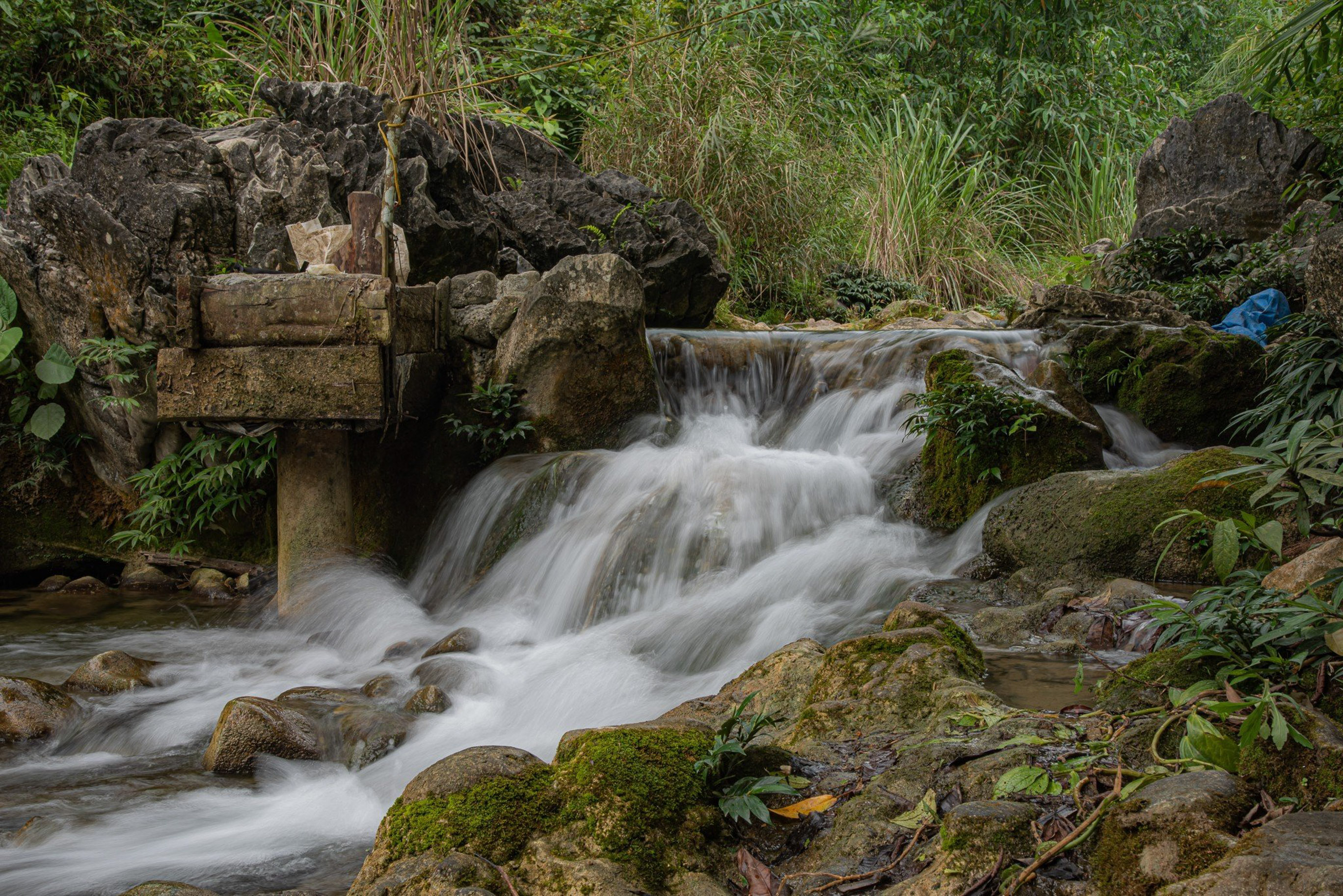
Small person in front of majestic waterfall (Photo: VietNam Booking)
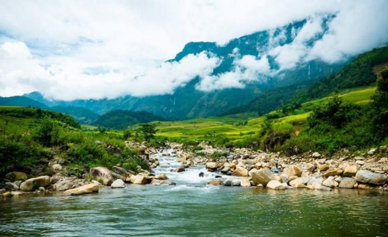
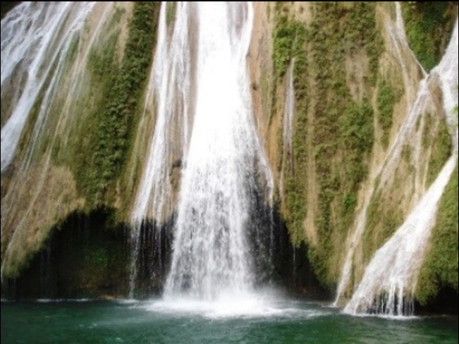
Currently, there is no fence at the waterfall, visitors can personally touch the fierce water flow and feel the cool steam from the natural mountains and forests. Surrounding the waterfall is a scene of lush green grass covering the space and large and small rocks full of moss lying stacked on top of each other beside the stream. Along with the intense murmuring sound and water flow, all create a perfect, majestic natural scene that no image or film can fully portray like what humans can "see and hear".
After coming to admire the beauty of the majestic Hang Te Cho waterfall, in the late afternoon or evening, visitors can return to Hang Te Cho village and enjoy rustic local dishes such as crispy fried crickets and cakes. Woof bird and buffalo meat are stored in the kitchen at indigenous families.
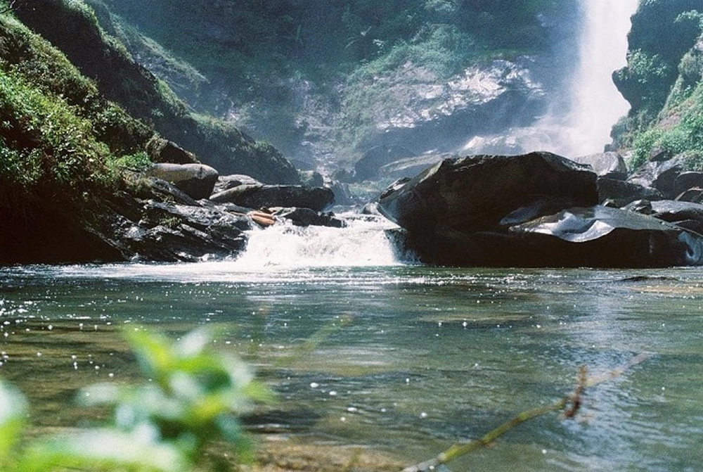
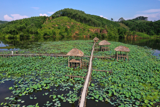
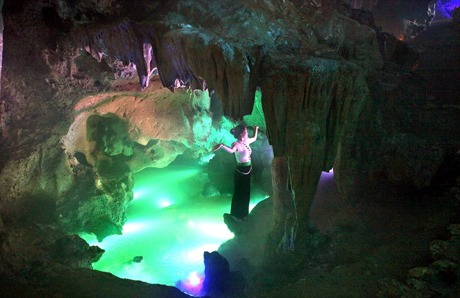
Magical lake right at the foot of the waterfall (Photo: minhtuannguyen)
Some notes before going to the waterfall
The road to Hang Te Cho waterfall is not easy and has many potential dangers. Visitors need to have a steady and calm steering wheel when moving on high mountains. Furniture and luggage brought along on the trip need to be as minimal as possible, suitable for trekking on mountain roads or difficult roads.
Before reaching Phinh Ho commune, visitors need to make sure to fill their gas tank because the deeper they go, the more poor and sparsely populated the conditions are and it will certainly be difficult to find a place to buy gasoline if they are a tourist. ran out of gas along the way.
Tourists also need to equip a car repair kit to prevent problems on the road, and don't forget to bring a waterproof bag to hold electronic devices such as phones or cameras.
Finally, be sure to carefully check the weather before starting your journey to conquer Hang Te Cho waterfall. You should avoid going on rainy days because the slippery roads are very dangerous and visitors cannot get to the place.
Yen Bai
1517 view
Update day
: 22/10/2023
Tường Vân


 vn
vn en
en ja
ja ko
ko zh
zh


