vn
vn en
en ja
ja ko
ko zh
zh


 VIP member benefits


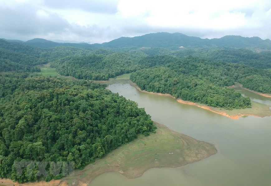
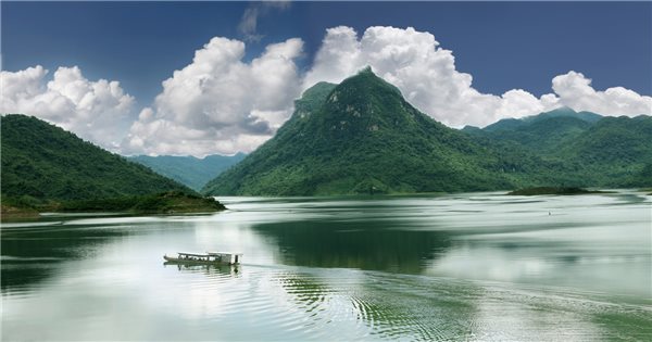
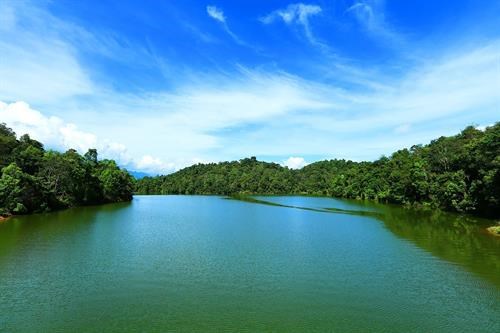
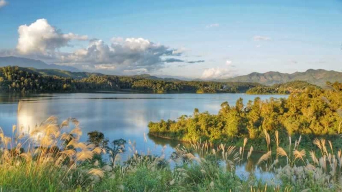
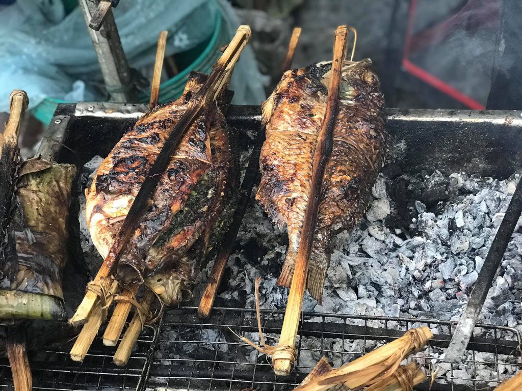
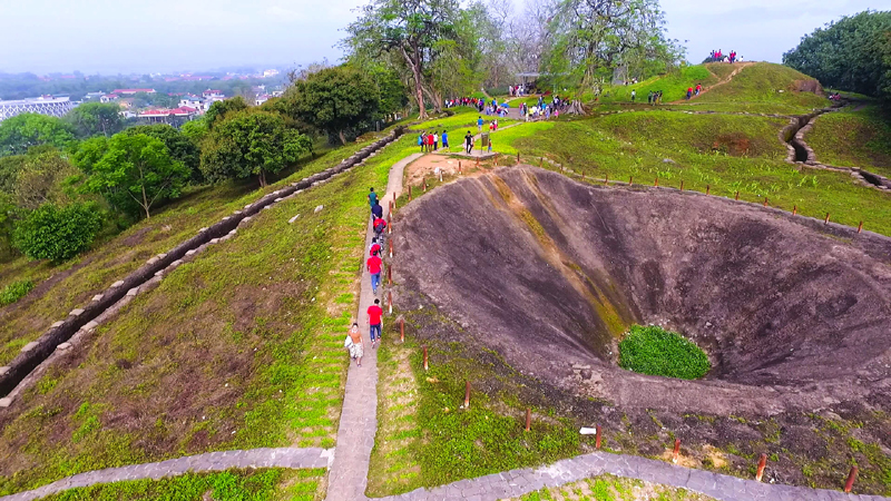
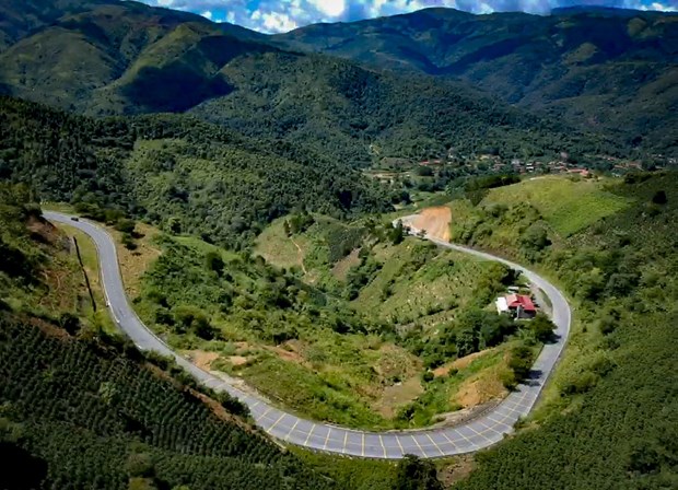
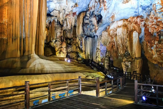
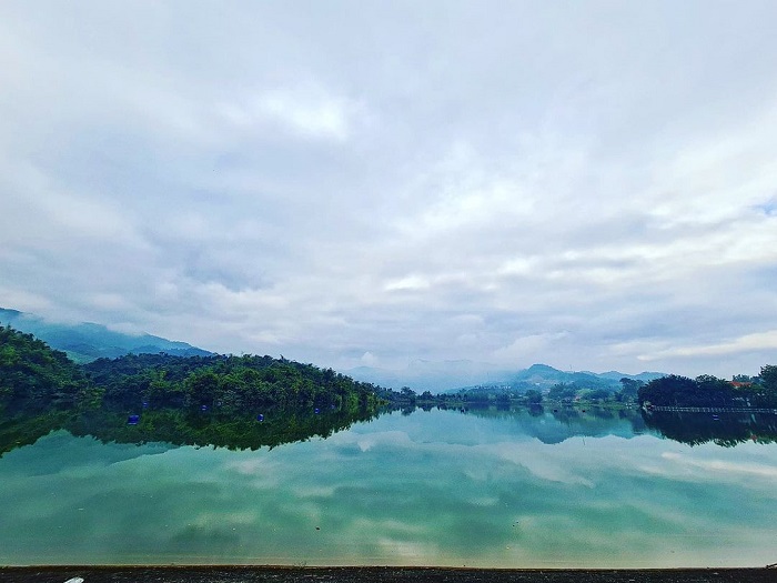
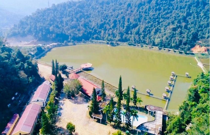
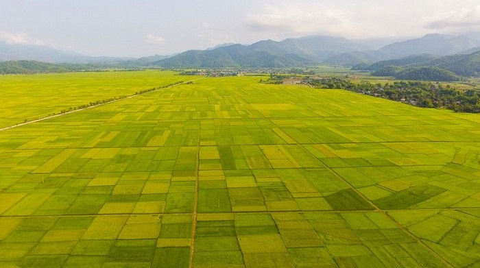
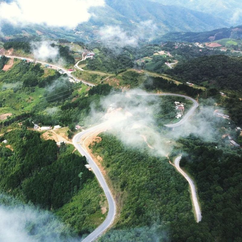
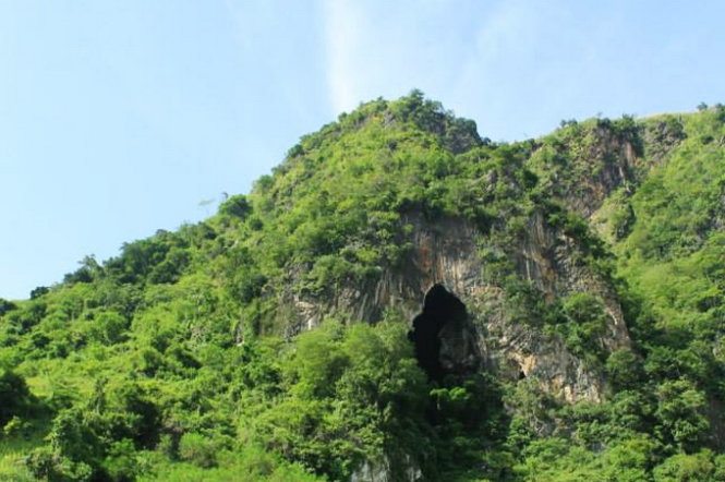
Pa Khoang Lake is located in Pa Khoang commune, City. Dien Bien Phu; About 8km from Highway 279 and from the city center. Dien Bien Phu is nearly 20km to the Northeast. In the language of the Thai people, Pa Khoang means "bamboo forest". Mr. Quang Van Viet, Chairman of the People's Committee of Pa Khoang commune, said: In the past, countless bamboo trees grew around the lake. Thai people here have a funny saying that "look up and see the sky, look down and see bamboo". Local people often use bamboo to make fishing rods and some household items. In addition to ensuring irrigation for 5,000 hectares of Muong Thanh fields with 2 rice crops, Pa Khoang lake also regulates the climate, limits the harmful effects of floods, and stores water for two hydroelectric projects: Thac Bay and Na Loi. . With the advantage of diverse vegetation, the forests around the lake are rich in all kinds of animals; Many species of plants and animals floating and under the lake bed. In 2004, on the occasion of the 50th anniversary of the Dien Bien Phu victory, the road leading to Pa Khoang Lake was paved. Also at this time, 4 motels, both luxurious and rustic, with nearly 100 rooms were opened; Cultural villages of the Thai and Kho Mu ethnic groups were also deployed with a total area of over 1,000 hectares. To get to Pa Khoang Lake, visitors can move from Highway 279 along Highway 279b into Muong Phang commune. Or you can follow the road southeast of the city. Dien Bien Phu passes through Ta Leng commune. These two routes lead visitors through winding roads along the lake, occasionally appearing behind the forest canopy on the clear blue surface of Pa Khoang Lake... Visiting Pa Khoang Lake, visitors can row a boat on the rolling waves, creep into every corner of the islands, and discover the magic of the natural world. Visitors can also walk through the forest to enjoy the scenery and visit villages of the Thai ethnic group. The people here are very friendly and hospitable; Visitors will be invited to attend cultural exchanges, enjoy art and culinary dishes, such as sticky rice, bamboo-tube rice, grilled fish, smoked meat... In winter, mist covers the lake surface, creating a magical watercolor painting. Summer comes, the lake surface is clear and gentle, reflecting the mountains, clouds, sky and dark green forests. In 2015, the Prime Minister approved the "Master plan for development of Dien Bien Phu - Pa Khoang National Tourist Area, Dien Bien province until 2020, vision to 2030". The general goal of the planning is to develop the Dien Bien Phu - Pa Khoang Tourist Area by 2020 to basically meet the criteria of the National Tourist Area; By 2030, it will truly become a National Tourism Area with a system of synchronous and modern technical facilities; is a highlight and milestone on the tourist route through the Northwest region, creating a driving force to promote tourism and socio-economic development in Dien Bien province.
Dien Bien 1776 view From January to December
Ngày cập nhật : 10/03/2023