From Ma Phuc to Na Tenh, then winding around Khau Coc Cha and then Me Pia… are the passes that overwhelm tourists on the road touring the Northeast highland waters - Cao Bang flavor.
From Ma Phuc to Na Tenh, then winding around Khau Coc Cha and then Me Pia… are the passes that overwhelm tourists on the road touring the Northeast highland waters - Cao Bang flavor.
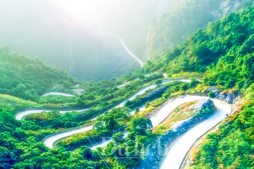
Đường lên đỉnh trời tít tắp cheo leo khiến bao lữ khách mải mê, đắm say.
Chúng tôi trở lại với hương sắc vùng cao, miền non xanh nước biếc Cao Bằng khi những cơn dông đầu Hạ hun hút thổi tràn qua thung lũng Đồng Mu, để ghé thăm miền biên viễn núi núi - non non trùng điệp đã tạo nên những cung đường đèo quanh co, hiểm trở nhưng tuyệt đẹp, khiến tâm hồn bao lãng khách phải ngẩn ngơ – ngơ ngẩn.
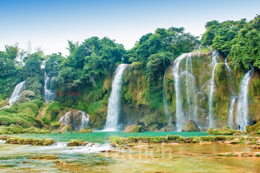
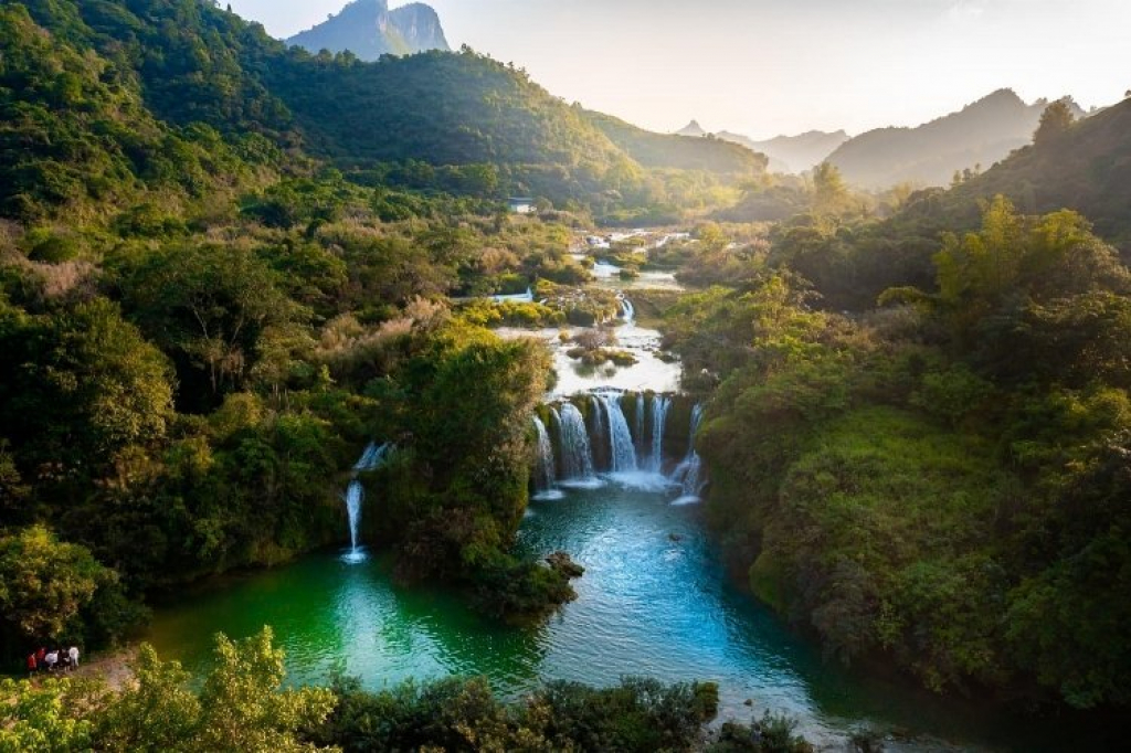
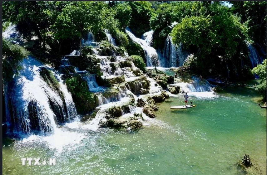
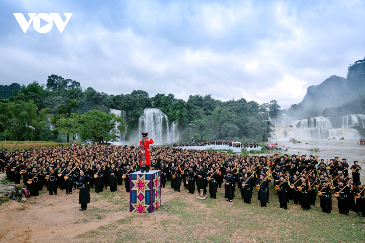
Hùng vĩ thác Bản Giốc nơi địa đầu Tổ quốc.
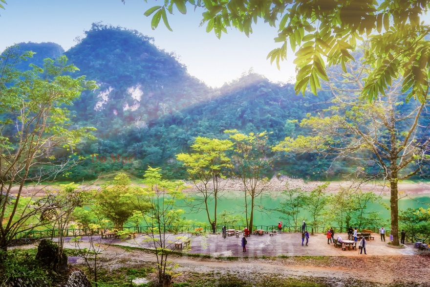
Hồ Thang Hen mênh mang thơ mộng.
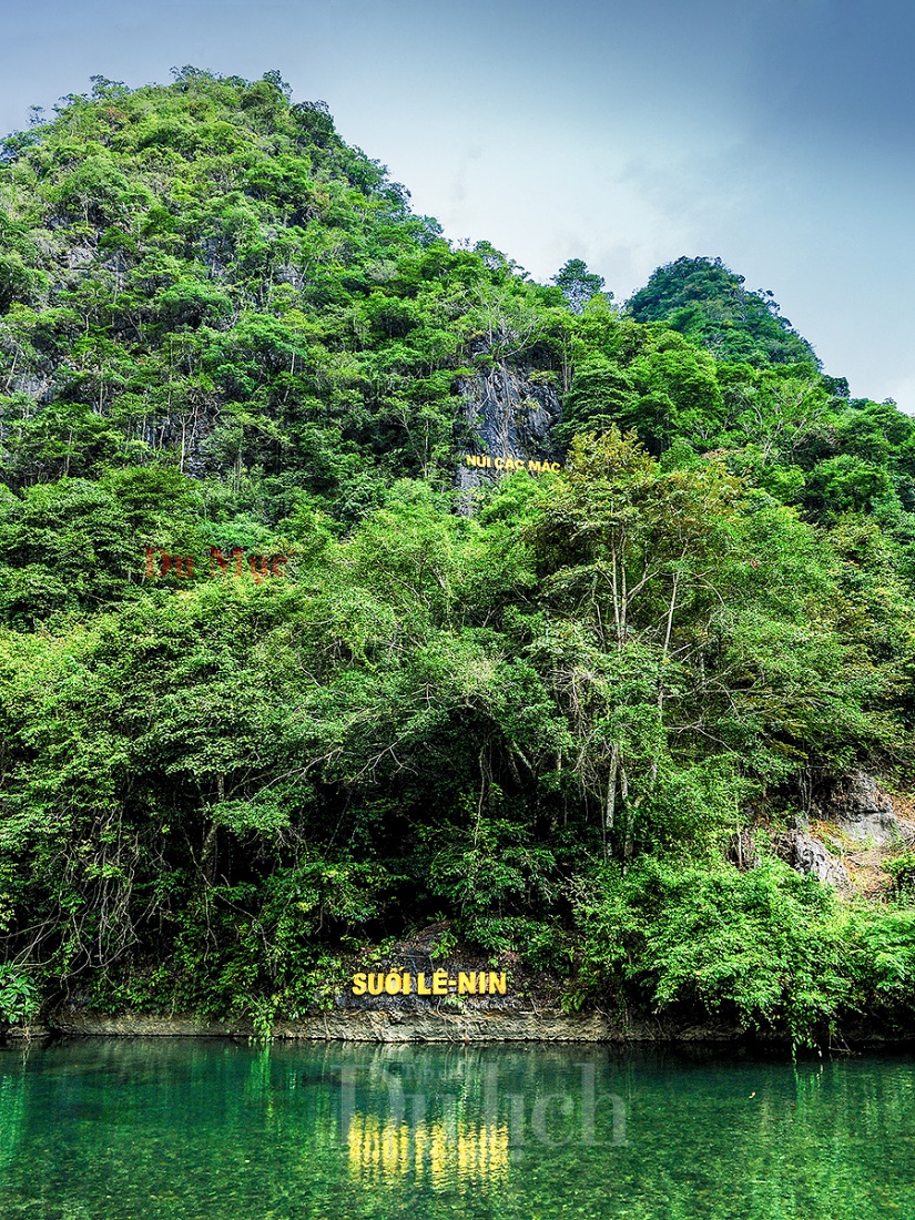
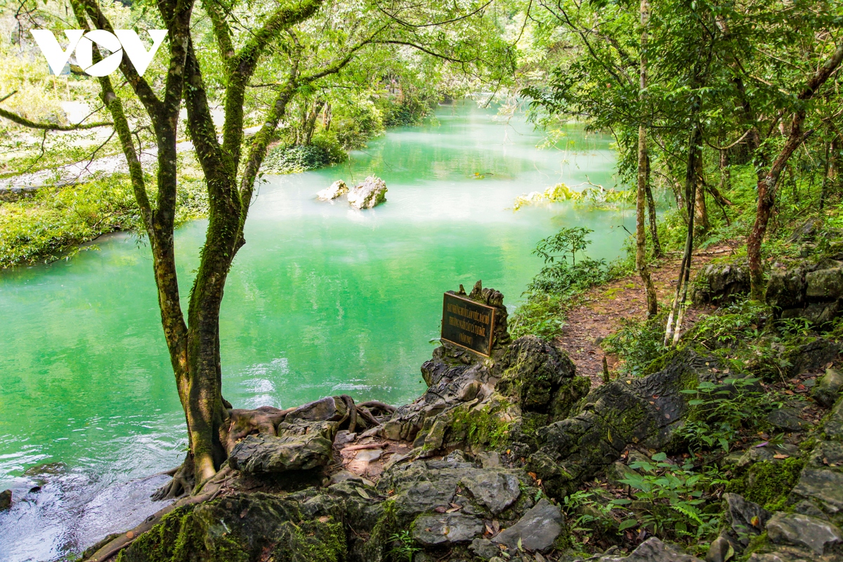
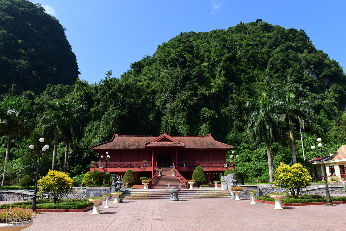
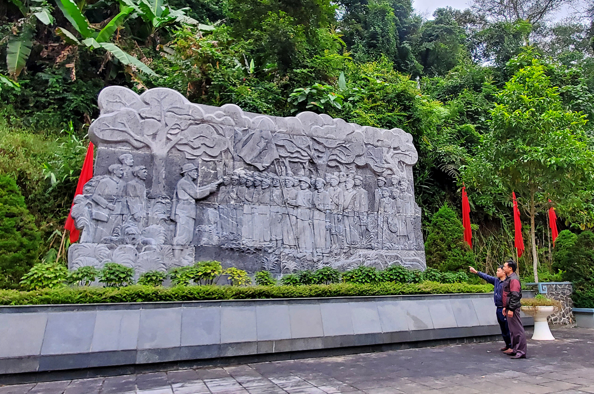
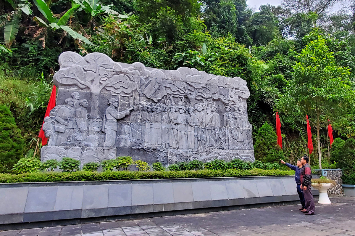
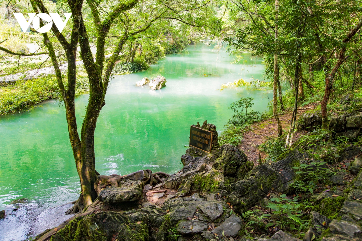
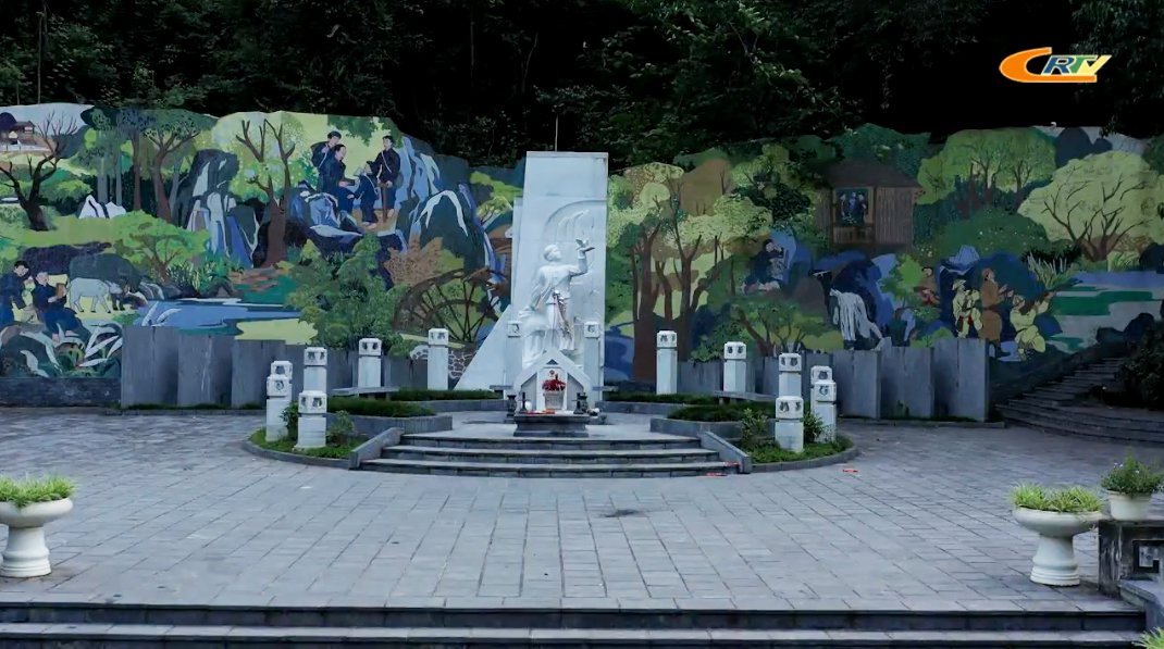
Khu di tích Pác Pó với núi Các Mác - suối Lê Nin trong xanh màu ngọc bích.
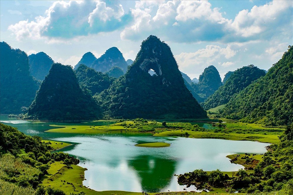
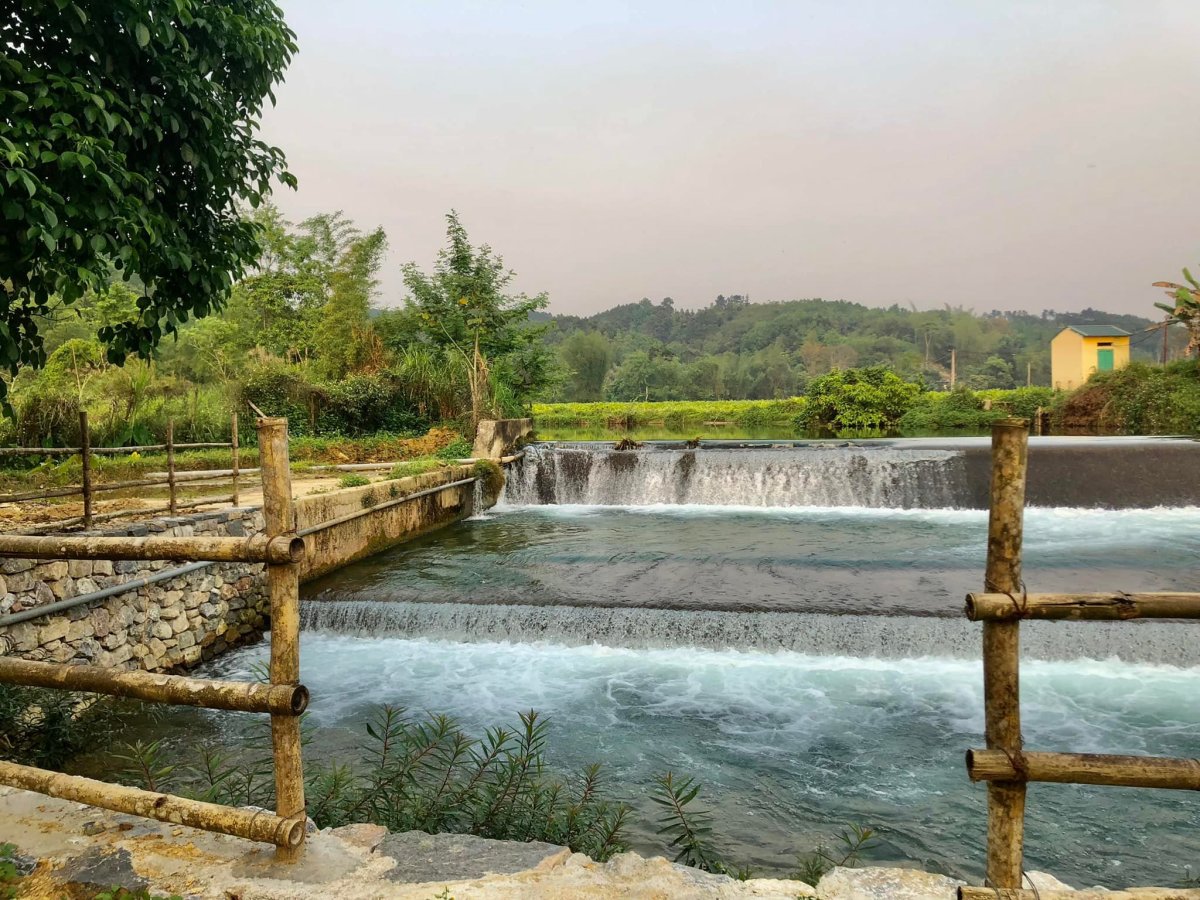
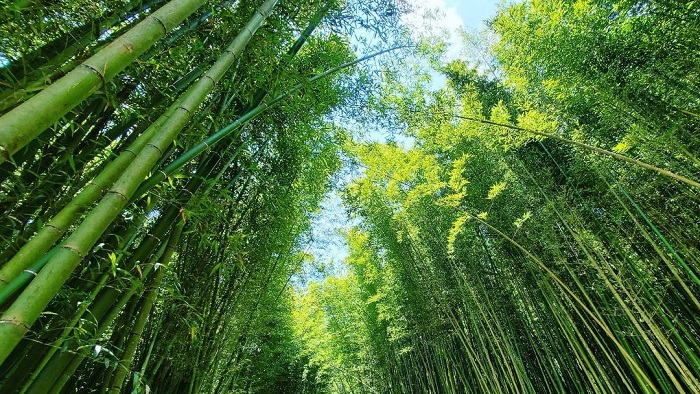
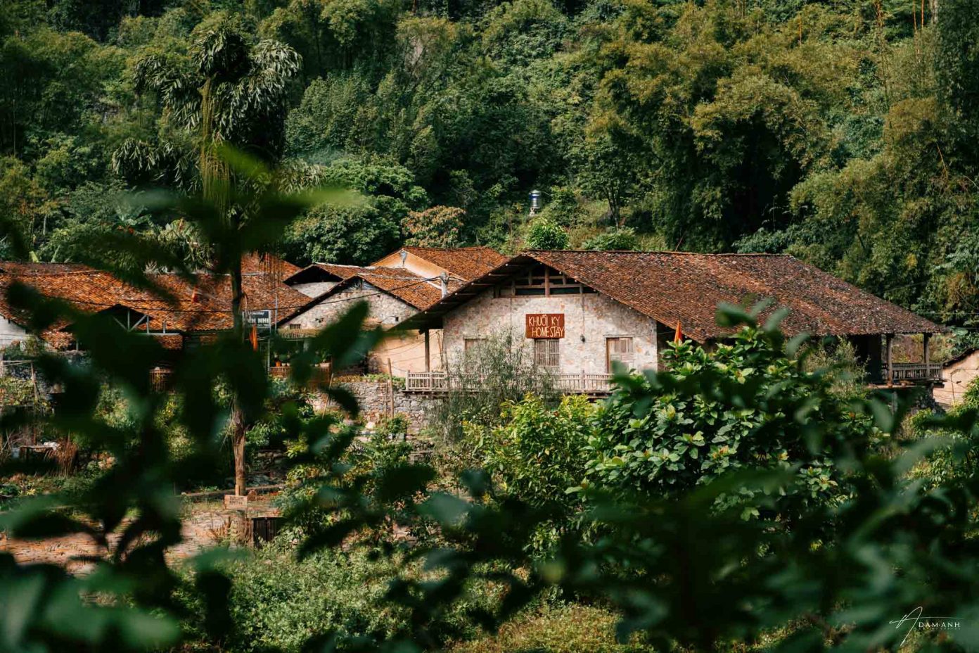
Cảnh xưa người cũ mới đó chưa tới chục năm mà đã đổi thay nhiều. Bên cạnh cảnh quan thiên nhiên quyến rũ cùng với các danh thắng quen thuộc như Bản Giốc, hồ Thang Hen, động Ngườm Ngao, Pác Pó…, nay lại rộ lên nhiều điểm đến mới lạ hấp dẫn khiến bao lãng khách phải mê say: Mắt thần núi Nà Ma, vườn Quốc Gia Phia Oắc - Phia Đén, rừng trúc Nguyên Bình, thác Bản Sầm, thác Nặm Ngùa, hang Ngườm Pục, Làng đá cổ Khuổi Ky, Hồ Bản Viết...
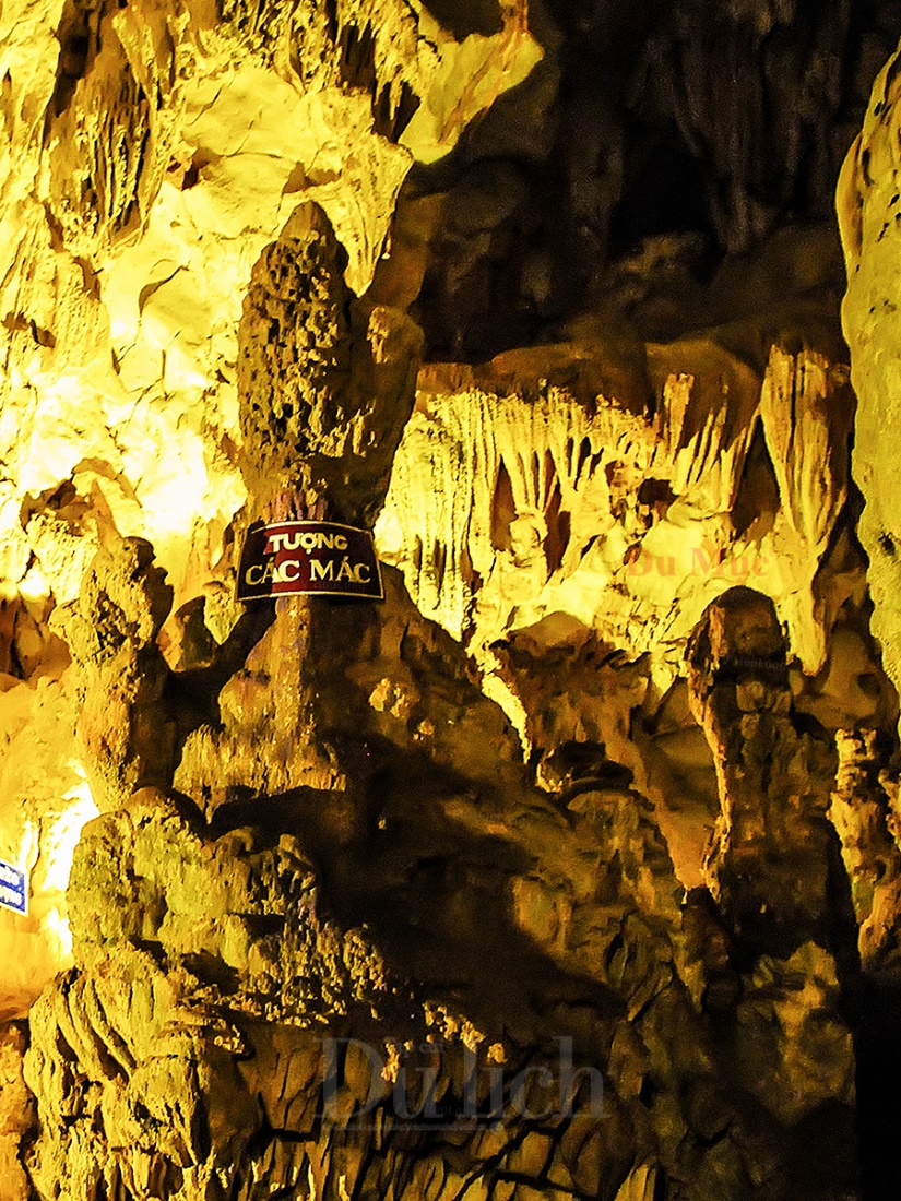
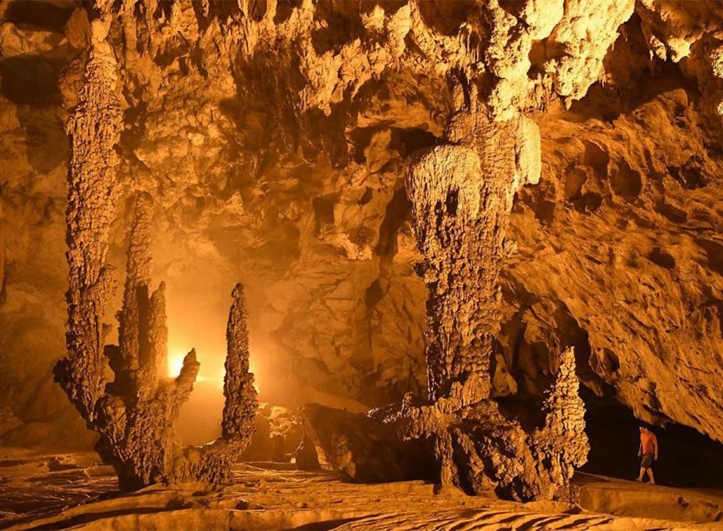
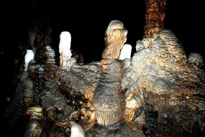
Kì bí động Ngườm Ngao cùng những thạch nhũ hàng thiên niên kỷ.

The eye of the god of Thung Na Ma mountain, a new and attractive destination about 5 years ago. A place where travel lovers often whisper to each other must definitely visit.
Departing early from the center of Cao Bang city, the dawn turns red with the mountains and hills, the colors of the crimson tiled roofs, brick walls, and trees. The whole city changes color from night to day in magical colors, from purple gradually turning to red, orange, and yellow looming in the fog, it looks extremely beautiful, making visitors feel like they are lost in a fairyland, fairyland. .
Usually people who like to move are too familiar with the four great passes: O Quy Ho, Khau Pha, Ma Pi Leng, Pha Din; On this journey back to discover Cao Bang Perfume, we continued to conquer 4 passes belonging to Non Nuoc Cao Bang Global Geopark with Ma Phuc, Me Pia, Khau Coc Cha (Tra) and Ma Phuc passes. King of Na Tenh pass with 20 spectacular sleeve bends.
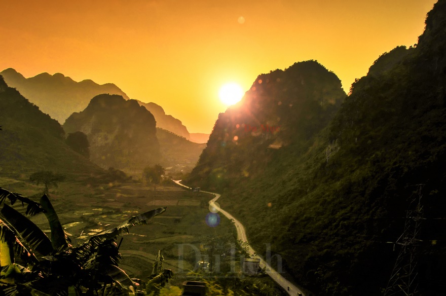
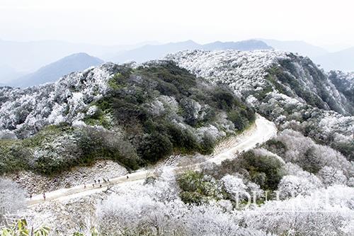
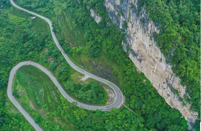
Đèo Mã Phục dài 3,5km, cao khoảng 700m so với mực nước biển, uốn lượn qua 7 tầng dốc.
From Cao Bang City to the God Eye of Mount Thung - Na Ma, you have to cross Ma Phuc Pass. The pass belongs to Cao Xuyen village, Quoc Toan commune, Tra Linh district, is the boundary between Hoa An and Tra Linh districts, 22 km from the city center. The reason this pass is called Ma Phuc because in this pass there are two large rocks looking at each other like two horses prostrating.
The pass is also associated with the legend of the talented leader of the mountainous region Nung Chi Cao, the Tay ethnic people led the people to crush the invading Song army and return peace to the northern mountainous region. When he reached the top of the steep steep slope, his horse stopped and fell to his knees from exhaustion. It is the image of a horse lying down on it (a costume) that exudes the majesty and danger of the pass.
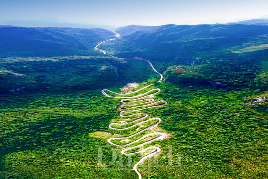
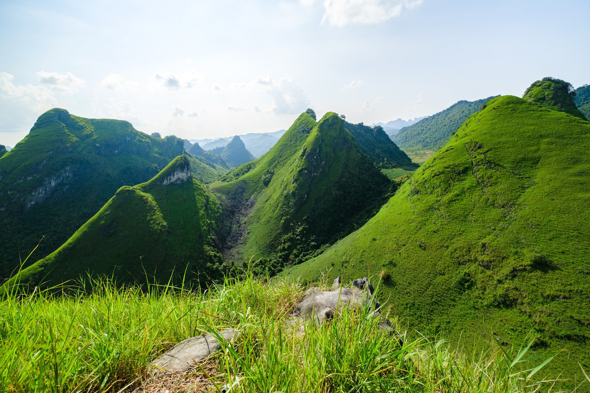
Khau Cốc Chà thuộc cung Đông Bắc khi khách lãng du ghé đến miền sơn cước của vùng núi non trùng điệp Cao Bằng.
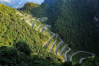
Next, the highlight of this journey worth mentioning is the majestic 15-storey zigzag pass, with the bends that want to turn the wheel, which has attracted the silk driver to find and conquer.
In the Tay language, Khau means pass, Coc Cha is the name of a Tay village at the top of the pass, also the name of a tree that grows a lot in this area. The Me Pia Pass passes through Coc Cha village and has since been named Khau Coc Cha.
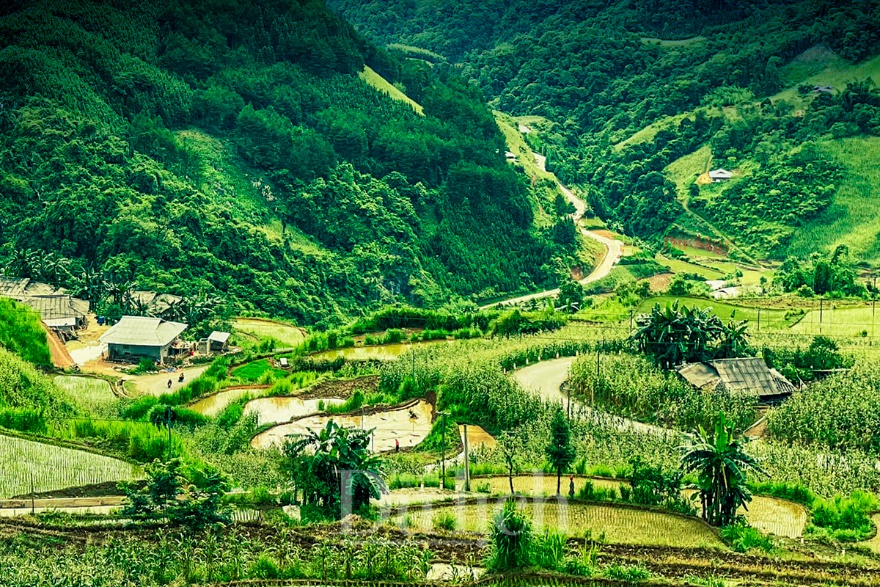
Cung đường xuyên qua các bản làng thơ mộng, quanh co ruộng lúa nương đẹp như tranh vẽ.
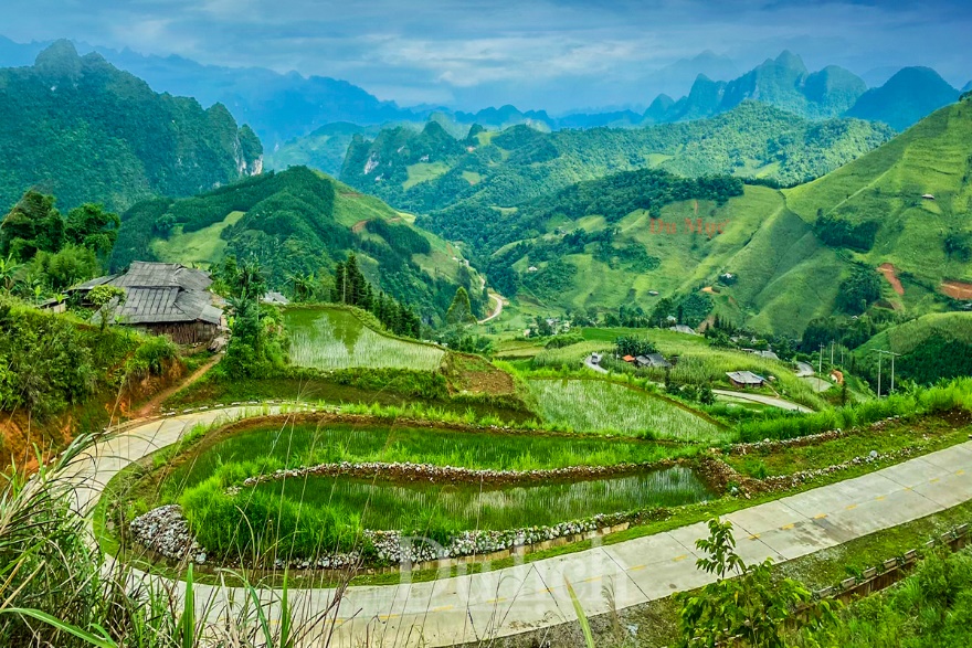
Nếp nhà sàn của bà con dân tộc vùng cao thấp thoáng ẩn hiện bên hàng tre, khóm trúc mơn man.
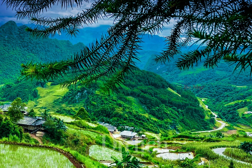
Khung cảnh làng quê mộc mạc níu chân bao lữ khách.
Standing on the top of Pac Thoc mountain, looking at the panorama of Khau Coc Cha pass and Dong Mu valley in the center of Xuan Truong commune, Bao Lac district, Cao Bang, you will understand why in recent years, backpackers always choose Bao Lac. make a stopover instead of the big towns around.
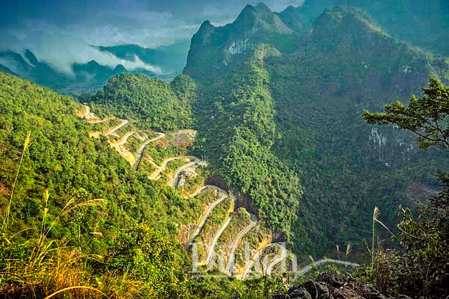
Cực phấn khích khi cưỡi xe máy trên cung đường ngoằn ngoèo với những khúc cua khó tin.
Thien Di, a female backpacker who is known by many members of the groups, shares: "For teleporters like us, this is one of the roads that we must return to every time we have the opportunity; Especially when the four great passes become too boring and dangerous because there are more and more cars.
In addition, this is also the route from the first place of the country - Dong Van stone plateau to Cao Bang that we often go back and forth in the journey to conquer the Northeast arc. The road runs along National Highway 4C, sometimes far away, sometimes merging close to the green Nho Que river in emerald color before merging with Highway 34 by the winding Gam River, winding all the way.
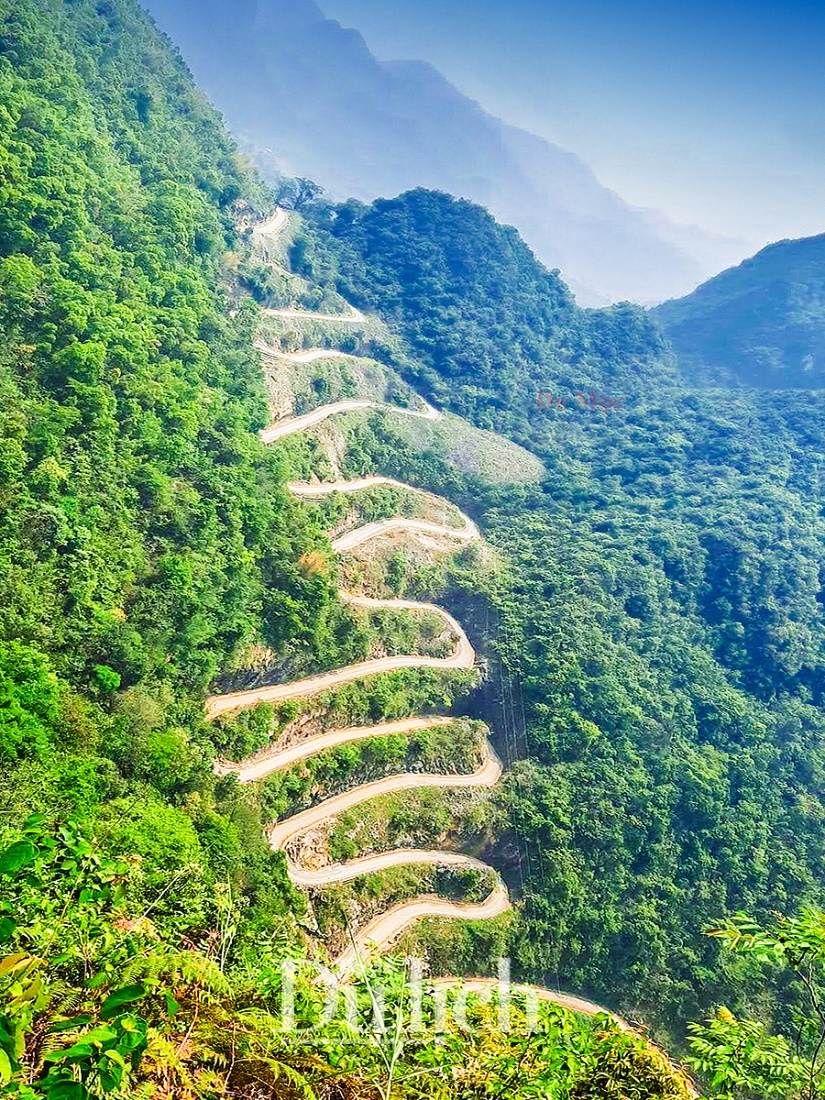
Đèo Khau Cốc Chà của huyện Bảo Lạc, tỉnh Cao Bằng khởi công từ 2009 – khánh thành đưa vào sử dụng vào năm 2011.
Vang A Chu, a son of the Mong ethnic group in Xuan Truong commune, said excitedly: “About ten years ago, the natives who wanted to cross this pass to the top of the sky of Me Pia had only horses. The horses that struggled to overcome the huge 15-storey slope in those days are now gradually being replaced by more convenient and faster motorized vehicles than before."
Recently, at the beginning of July 2023, the province has redone this road after more than 10 years of being put into use with a budget of about 39 billion to upgrade, maintain and repair. Expected time to complete the work by the end of 2023. Those who are passionate about moving and conquering the passes should avoid this time to ensure safety and reduce hardship, Vang A Message sent.
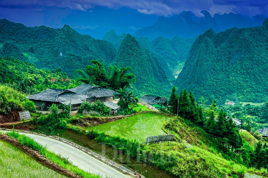
Từ Khau Cốc Chà đi thêm một đoạn tới đỉnh Mẻ Pia để đi tiếp qua miền đá Hà Giang.
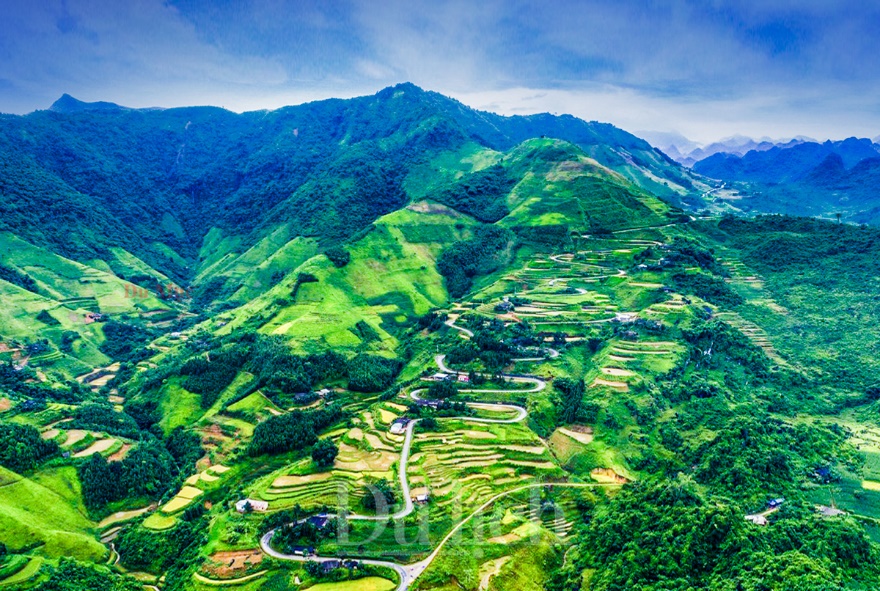
Theo tiếng Tày, Nà Tềnh nghĩa là ruộng cao, con đèo 20 tầng đẹp và hiểm trở, giáp ranh giữa xã Cần Nông huyện Hà Quảng và xã Xuân Trường huyện Bảo Lạc, sát gần khu vực biên giới.
Finally, there is "King of Pass" Na Tenh in Can Nong Commune, Ha Quang District, located on National Highway 4A on the same road and about 18km from Khau Coc Cha Pass, but winding and longer. Passing the top of the pass a little bit is to the territory of Bao Lac district. Previously, the road was very bad and extremely difficult to travel, now it has been repaired, making traveling more convenient.
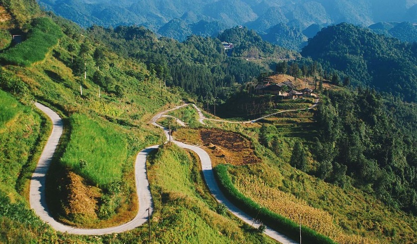
If Khau Coc Cha pass makes backpackers stunned by 15-storey steep slopes like stairs to the sky, Na Tenh pass is like a soft silk strip with 20 bends winding through villages. In the middle of the terraced fields, tattooed with the pouring season, glittering like fish scales overlapping, creating a charming picture of young water.
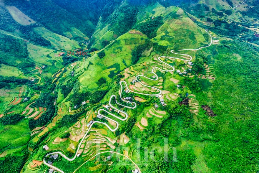
Nà Tềnh được các phượt thủ xướng tên “Vua đèo” vì đường đi hiểm trở với 20 đoạn cua gập, khúc khuỷu đầy thử thách.
According to Mr. Hoang Chi Bao, a tour guide of this locality said, if going from Cao Bang city to Ha Giang along this road, it will be about 21km shorter than going on Highway 34. The scenery is even more beautiful, on the pass is very beautiful.
Usually, motorbike riders go from Cao Bang to Ha Giang and vice versa, preferring to take this winding road to test their silk driving skills. However, in this stormy season, everyone remember to watch the weather because heavy rain can cause dangerous landslides and slippery, Guide Bao advised.
Cao Bang
2352 view
Update day
: 16/07/2023
Du Mục


 vn
vn en
en ja
ja ko
ko zh
zh


